Agriculture & Food Systems
Cerebro Dynamics supports agricultural ministries and operators in turning earth observation, market, and operational data into coordinated food-system action.
Understanding this sector in plain words.
We use satellite weather scans, farm soil readings, and market grain prices to help farmers grow more food, protect crops from bad weather, and ensure food gets to market without rotting in warehouses.
What is at stake.
Agriculture feeds nations and employs over half the workforce in developing economies. Yet farmers, cooperatives, seed companies, and food ministries operate in the dark regarding weather shifts, market crop prices, and warehouse availability. When droughts strike or fertilizer deliveries fail, crop yields plummet and food prices surge. Cerebro Dynamics Agriculture connects satellite earth observation, farm cooperative inventories, and grain market telemetry into a unified planning surface.
What we hear from operators.
- 01Yield variability with limited foresight
- 02Disconnected market and field signals
- 03Limited tooling for cooperative coordination
- 04Climate exposure without early warning
How teams work together on the platform.
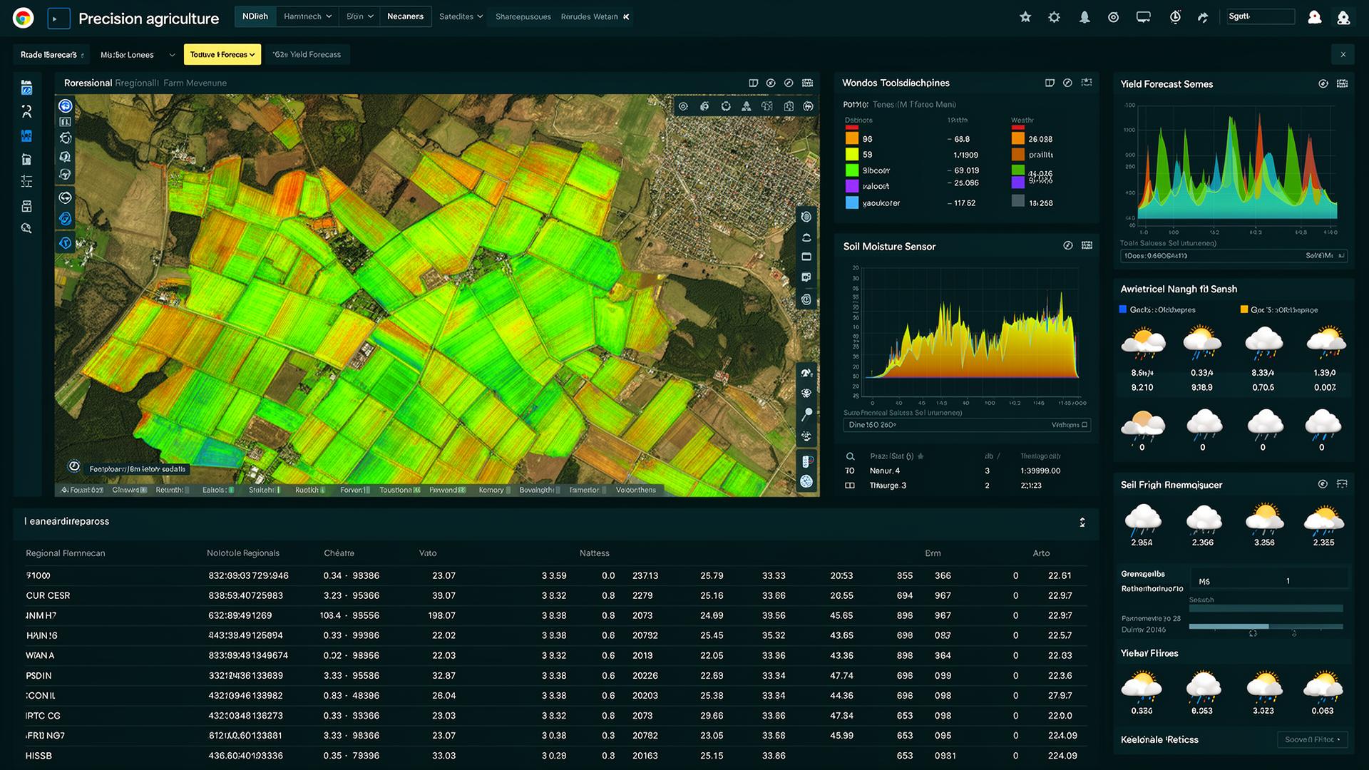
Captures vegetation greenness, water stress, and rainfall patterns across agricultural regions every five days.
Calculates anticipated crop volumes by district, helping ministries plan national food reserves before harvest.
Tracks fertilizer, seed, and tractor deliveries directly to community farmer cooperatives.
Connects regional grain warehouses and transport fleets to balance supply and stabilize food prices.
How we engage.
An earth-observation and market intelligence platform tied directly to operational planning.
Real-world operational deployment.
Protecting Smallholder Farmers Against Severe Seasonal Floods
Seasonal river flooding regularly wiped out lowland maize crops because smallholder farming communities had no advance warning.
The platform fused upstream river sensor data with regional rainfall forecasts, predicting flood inundation forty-eight hours in advance.
Cooperatives alerted forty-five thousand farmers via SMS to harvest early and move livestock to higher ground, saving over twelve million dollars in crops and cattle.
What deployment delivers.
What leaders ask before starting.
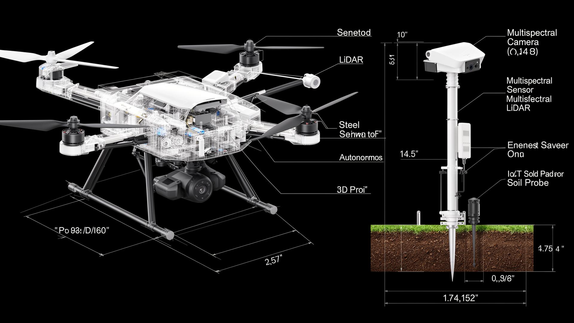
Systems, operations, hardware.